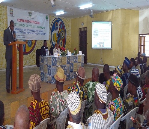
Ivory Coast: CNTIG presents digitized and geolocated data of Attecoube municipality
 During a ceremoney held on January 6, 2016, the National Committee for Remote Sensing and Geographic Information (CNTIG) officially presented the findings of the e-municipality project for the municipality of Attécoubé. Many community leaders came for the occasion
Essentially involving the geolocation and digitization of data, the e-municipality project aims to be the precursor to a new dawn in the fluidity of the management of municipal resources.

Source: http://www.cntigci.net/actualite/article/338-resti-ecommune-attec; http://mairieattecoube.ci/index.php?site=afc&ida=215-ceremonie-de-restitution-des-travaux-du-cntig

